Stay on Track: Using GPS and Offline Maps in the Backcountry
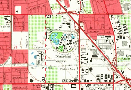
Modern handheld GPS units and smartphones give you precise location data even when you’re miles from the road. Before you head out, download the topographic maps for your area and load them onto your device. Most apps let you store maps on the internal memory or a microSD card, so you’re not dependent on a cell signal.
When you arrive in the field, enable the device’s high‑accuracy mode and keep the antenna clear of obstructions. A good practice is to set a waypoint at your starting point, then add waypoints at key landmarks such as water sources, ridgelines, or potential exit routes. This creates a breadcrumb trail you can follow back if conditions change.
Offline maps are only as useful as the way you read them. Familiarize yourself with the map symbols, contour intervals, and scale before you leave home. Pair the visual map with the GPS screen to cross‑check your position; if the numbers don’t line up, you may have drifted off the intended path.
Battery life is a common concern. Carry spare batteries or a portable power bank, and consider turning off nonessential features like Bluetooth or background apps. A quick 5‑minute power‑off and on can also reset the GPS lock and improve accuracy.
Finally, always have a backup plan. A paper map and compass are lightweight, cheap, and work without a charge. Knowing how to navigate with both digital and analog tools ensures you stay safe and enjoy the backcountry without worry.