Smart Strategies for Public-Land Hunting: E-Scouting, Access, and Outmaneuvering Pressure
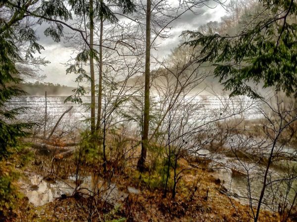
Digital scouting has become a core part of modern public‑land hunting. Free satellite imagery, topographic apps, and crowd‑sourced recent‑hunt reports let you pinpoint likely stand locations, water sources, and travel corridors before you even step onto the trail. Set up a simple map layer with your favorite app, mark game‑sign hotspots, and schedule a quick drive‑by to confirm the terrain matches your expectations.
Access is the foundation of any successful outing. Public lands often have a patchwork of permits, seasonal closures, and road restrictions that change yearly. Keep a copy of the latest land‑owner map on your phone, note any required permits, and double‑check road conditions with the managing agency’s website or a local ranger office. Arriving with the right paperwork not only avoids fines but also reduces friction with fellow hunters who value orderly use of the space.
Crowd pressure can turn a promising stand into a waiting game. One effective tactic is to vary your timing by hunting early morning or late evening when most hunters are still in their trucks. If a popular area is packed, consider a short hike to a less‑traveled ridge or a secondary water source a few miles away; game often moves along predictable routes, and you’ll encounter fewer competitors.
Finally, respect the land and its users. Leave no trace, follow all posted signs, and communicate politely if you encounter other hunters. A cooperative attitude helps maintain public‑land access for everyone and reduces the likelihood of stricter regulations that could limit future hunting opportunities.