Never Lose Your Way: Mastering GPS and Offline Maps in the Backcountry
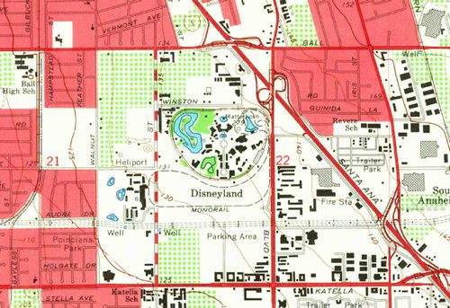
Backcountry hunting rewards patience and skill, but it also demands reliable navigation when the trail goes off the grid. A solid GPS setup paired with offline topographic maps lets you move confidently through unfamiliar terrain without relying on spotty cell service.
Start every outing with a map download. Choose a reputable source for high‑resolution topo layers, then save the area to your device for offline use. Set the map projection to UTM or the coordinate system you prefer, and mark key locations - launch points, water sources, and potential stand sites - as waypoints before you head out.
On the trail, keep your GPS screen simple. Display only your current coordinates, a compass heading, and the nearest waypoint. Turn off unnecessary features like live traffic or Bluetooth to preserve battery life. If your device allows, enable a low‑power mode that updates position every few minutes rather than continuously.
Never rely on a single tool. Carry a paper topographic map and a compass as a backup, and know how to triangulate your position using visible landmarks. In an emergency, a basic handheld GPS can still transmit a distress signal if it has satellite connectivity, even when the map app is offline.
The best navigation plan is the one you’ve practiced. Spend time in a familiar area testing your device settings, waypoint creation, and map loading process. Keep your software updated, bring spare batteries or a portable charger, and you’ll enjoy the backcountry with confidence and safety.