Never Get Lost: Mastering GPS and Offline Maps for Backcountry Hunts
A reliable GPS unit is the cornerstone of any backcountry hunt. Even the most experienced tracker benefits from a satellite-based reference point that works day or night, in thick cover or open meadow. Choose a device that lets you download waypoints, track your route, and display coordinates without relying on cellular service.
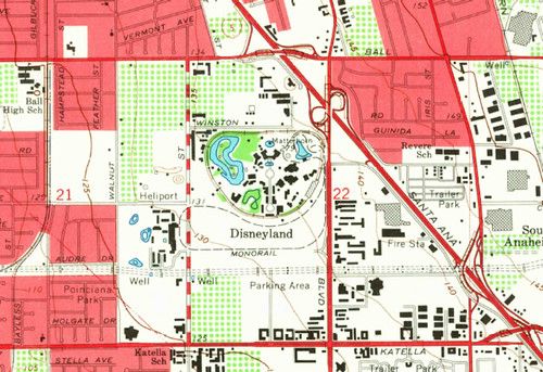
Before you head out, preload the topographic maps of your hunting area onto the device or a smartphone app that works offline. Look for maps that include contour lines, water sources, and game trails. When you load the data, verify that the map aligns with the GPS grid; a quick test at a known landmark can save you from a costly mismatch later.
During the hunt, use a layered approach: keep the GPS on for real‑time positioning, but also carry a printed map and a compass as a backup. Mark key points such as stand locations, travel corridors, and exit routes as waypoints, and sync them to your device. If you need to move silently, switch the GPS to a low‑power mode or turn it off, then rely on your pre‑planned bearings.
After the day is over, export your track log and review it while still fresh. Look for any detours, missed opportunities, or areas where signal loss caused confusion. By learning from each outing, you’ll refine your route planning, reduce the risk of getting lost, and make every backcountry hunt more efficient and enjoyable.