Navigating the Backcountry: GPS and Offline Maps Made Simple
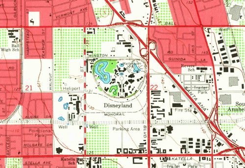
Modern GPS units give you pinpoint location data even in dense woods, but satellite signals can be blocked by steep terrain or heavy canopy. Having an offline map stored on your device guarantees you can see trails, water sources, and elevation changes without relying on a data connection.
Before you head out, download topographic maps that match your hunting area and load them onto your GPS or smartphone. Choose a format that supports layers so you can toggle contour lines, road networks, and public land boundaries. Keep the map files organized by region to avoid clutter when you switch zones.
During the hunt, mark waypoints for stands, water holes, and safe exit routes. Use the device’s breadcrumb trail to backtrack if you need to leave quickly. Turn off nonessential features like Bluetooth and Wi‑Fi to extend battery life, and carry a spare power bank or extra battery packs.
Never rely on a single navigation tool. Carry a printed topographic map and a compass as a backup, and practice basic land navigation skills before your trip. Knowing how to read a map and orient a compass can be a lifesaver if your electronics fail.