Navigating the Backcountry: GPS and Offline Maps Made Simple
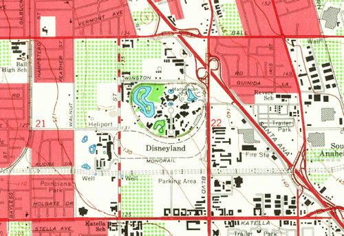
A reliable GPS signal can disappear the moment you step into dense cover or deep valleys, so having offline maps on hand is a must for any backcountry hunter. Offline data removes the guesswork when you can’t depend on cell towers, and it lets you focus on the hunt instead of hunting for a signal.
Before you head out, download the topographic maps for your area and any supplemental layers such as water sources, game trails, and elevation contours. Most mapping apps let you select a region and store it on the device, so you’ll have the same detail you’d get online, even when you’re miles from a connection.
When you’re in the field, set waypoints for key locations - tree stands, water crossings, and exit routes - and record your progress as you move. Keep a spare power source, turn off unnecessary features, and consider a handheld GPS as a backup to your phone. A simple compass and a printed map are still valuable tools if electronics fail.
After the hunt, sync your tracks to a computer or cloud service to review your route, note any navigation challenges, and update your offline maps for the next trip. Sharing these logs with fellow hunters can help everyone stay safe and improve future outings.