Navigate the Backcountry with Confidence: GPS and Offline Mapping Essentials
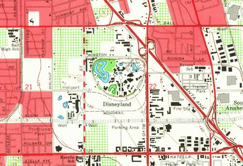
Backcountry hunting demands reliable navigation when cell service disappears. Offline topographic maps let you see contour lines, water sources, and game trails without a signal, and a GPS unit provides precise location data that a compass alone can’t match.
When selecting a device, focus on three features: the ability to download high‑resolution maps ahead of time, a clear screen readable in bright sunlight, and long battery life or an easy way to attach an external power source. Many modern smartphones can serve as GPS tools if you install a reputable mapping app and pair it with a rugged case.
Before you head out, download the map tiles for your entire hunting area and mark key waypoints such as stand locations, water holes, and exit routes. Keep a simple paper sketch or a compass as a backup, and test your device’s tracking mode on a short walk to confirm accuracy.
Share your planned route with a trusted contact, set up any available geofence alerts, and regularly check your position against known landmarks. Updating maps each season ensures you’re not navigating with outdated terrain data, and a quick firmware check can prevent unexpected glitches in the field.