Mastering GPS and Offline Maps for Safe Backcountry Hunts
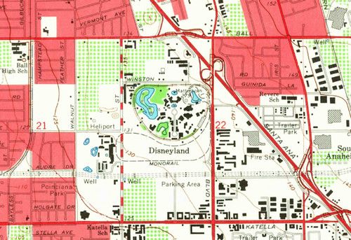
When you head into the backcountry, a reliable GPS device or smartphone app can be a lifesaver, but you can’t count on cell service to stay strong. Download topographic maps and satellite imagery before you leave the trailhead, and store them on your device for offline use. This ensures you have a detailed view of the terrain even when the signal drops.
Create waypoints for key landmarks such as water sources, stand locations, and exit routes. Tag each point with a clear name and a brief note so you can find it quickly in the field. Export the waypoint list to a GPX file and keep a copy on a separate memory card or cloud storage you can access later.
Adjust your device settings to maximize battery life: lower the screen brightness, enable power‑saving mode, and turn off non‑essential notifications. Carry a portable power bank and a spare battery if your device uses removable cells. Remember that GPS chips draw power even when the screen is off, so consider using a dedicated handheld GPS unit for long days.
Never rely on a single navigation tool. Bring a paper topographic map and a compass as a backup, and practice basic map‑and‑compass skills before you head out. Knowing how to cross‑check your digital position with a physical map can prevent costly errors if your electronics fail.