Mastering GPS and Offline Maps for Safe Backcountry Hunts
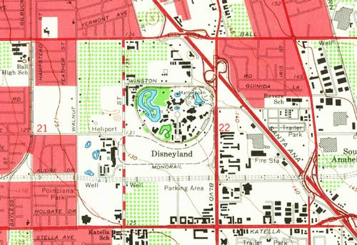
Choosing the right GPS tool is the first step. Handheld units with rugged casings, long battery life, and support for multiple satellite constellations (GPS, GLONASS, Galileo) give you the most reliable signal in dense cover. If you prefer a smartphone, pair it with a durable case and an external power bank, but always keep a dedicated backup device in case the phone fails.
Before you head out, download topographic and landowner maps to your device while you still have internet access. Most mapping apps let you select a region and store it for offline use, preserving detail such as contour lines, water sources, and trail markers. Mark your launch point, potential stand locations, and emergency exit routes as waypoints, and sync them across devices so you can see them even if one unit dies.
Battery management can make or break a backcountry hunt. Turn off non‑essential features like Bluetooth and Wi‑Fi, lower screen brightness, and enable power‑saving modes. Carry at least two spare batteries or a solar charger, and consider a lightweight external battery pack that can be attached to your pack for quick access.
While on the ground, use the GPS as a reference, not a crutch. Keep an eye on the horizon, recognize natural landmarks, and cross‑check your position with a paper map when possible. This habit builds confidence and ensures you can navigate if technology fails.
Finally, always let someone know your plan. Share your waypoint file or a screenshot of your route with a friend or family member, and set a check‑in time. If you miss the deadline, they can alert authorities with precise coordinates, speeding up any rescue effort.