Mastering GPS and Offline Maps for Safe Backcountry Hunts
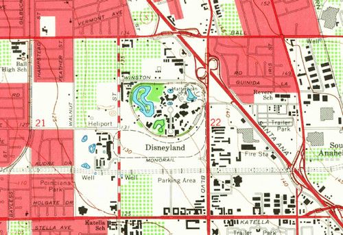
Backcountry hunting demands reliable navigation, and a solid GPS setup paired with offline maps is the cornerstone of a successful outing. Even when cell service disappears, a preloaded topographic map on your device lets you stay oriented and avoid costly detours.
Start by downloading the specific map tiles for your hunt area while you still have internet access. Most mapping apps let you select the zoom level and file format, so you can keep the data size manageable. Import any planned routes as GPX files, and tag key features like water sources, stands, and exit points before you head out.
On the day of the hunt, conserve battery by dimming the screen, turning off unnecessary radios, and using airplane mode when you only need GPS. Keep a physical compass and paper map as a backup, and regularly check your waypoint accuracy against known landmarks. If you notice drift, pause and recalibrate using a known point.
Finally, share your route and expected return time with a trusted contact, and consider a lightweight satellite messenger for emergency alerts. A quick glance at your offline map before you move can confirm you’re staying on track, while a brief check-in with your backup navigation tools ensures you’re never caught off guard.