Mastering GPS and Offline Mapping for Backcountry Hunts
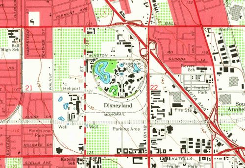
Backcountry hunting demands reliable navigation, and a good GPS paired with offline maps can be a lifesaver when cell service disappears. Modern handheld units and smartphones let you download topographic data before you head out, so you always have a reference that works without a signal.
Start by selecting a device that meets your needs. Dedicated GPS units often have longer battery life, rugged cases and built‑in compass, while smartphones offer flexibility and a wide range of mapping apps. Look for models that support standard file formats like .kmz or .gpx, and check that the app you choose lets you store maps on the device rather than streaming them.
Before you leave the trailhead, download the relevant map tiles for your hunting area and load them onto the device. Trim the data to the smallest area you need to conserve storage and speed up loading. Test the map by zooming in and out, and verify that waypoints such as water sources and trailheads line up with known landmarks.
In the field, keep your GPS visible and set it to display both your current location and a north‑up orientation. Use the breadcrumb trail feature to backtrack if you need to return to camp. Turn off non‑essential functions like Bluetooth and Wi‑Fi to extend battery life, and carry a spare power source such as a portable charger or extra batteries. Finally, always have a paper map and compass as a backup; technology can fail, but basic navigation skills never go out of style.