Mastering GPS and Offline Mapping for Backcountry Hunting
Backcountry hunting demands reliable navigation tools that work when cell service disappears. A GPS unit or smartphone with a solid antenna can pinpoint your location within a few meters, but the real advantage comes from pairing it with offline topographic maps that stay accessible without a data connection.
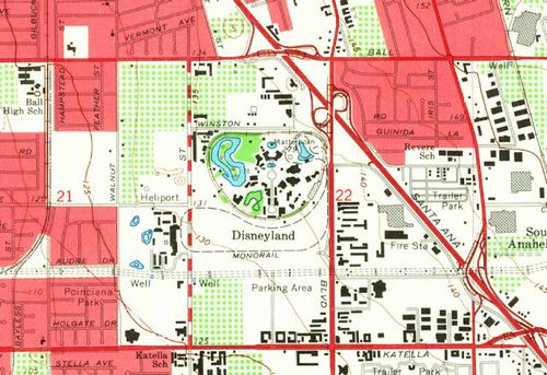
Before you head out, download the specific map tiles for your hunting area and store them on your device. Most mapping apps let you select a region and cache the data for later use, so you can zoom, pan, and measure distances even when you are out of range. Keep a printed topographic sheet as a backup; paper never runs out of battery.
Plan your day on the ground before you leave. Mark waypoints for stand locations, water sources, and exit routes, then export the list to your GPS or phone. Use the compass mode on your device to verify bearings, and practice moving from one waypoint to the next while the screen is offline. This habit reduces the chance of getting lost when the signal drops.
Safety is the final piece of the puzzle. Share your planned route and expected return time with a trusted contact, and enable any location‑sharing features that work offline, such as periodic GPS logs. Set up alerts for low battery or when you stray beyond a predefined perimeter. By combining a reliable GPS, offline maps, and solid pre‑trip planning, you can hunt with confidence and focus on the pursuit rather than the path.