Mastering Backcountry Navigation with GPS and Offline Maps
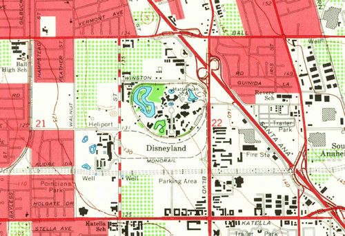
Before you head into the woods, download the topographic maps that cover your hunting area to your GPS or smartphone. Choose a format that works offline, such as .kmz or .gpx, and verify that the map layers include contour lines, water sources, and trail markers. Having the data stored locally means you won’t be dependent on cell service once you’re deep in the backcountry.
Create waypoints for key locations like stand sites, water holes, and exit routes. Use the GPS to record the exact coordinates when you first scout the area, then label each point with a clear, short name. When you’re on the move, follow the breadcrumb trail that the device generates, and double‑check your position against visible landmarks to avoid drift.
Battery life is a common concern, so carry a spare power source and set your device to a low‑power mode when you’re not actively navigating. Turn off unnecessary features such as Wi‑Fi or Bluetooth, and lower the screen brightness. A simple power bank or an extra set of rechargeable batteries can keep you online for a full day of tracking.
Always have a non‑electronic backup. A printed map and a compass take up little space and work without a charge. Practice basic map‑and‑compass skills before your hunt so you can transition smoothly if technology fails. Combining modern GPS tools with traditional navigation methods gives you the best chance of staying on course and returning safely.